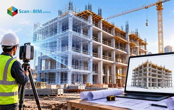

Millimeter-accurate point cloud laser scanning of any site
We scan buildings and infrastructure for architects, engineers, and contractors who need precise site data before design begins
Request a Quote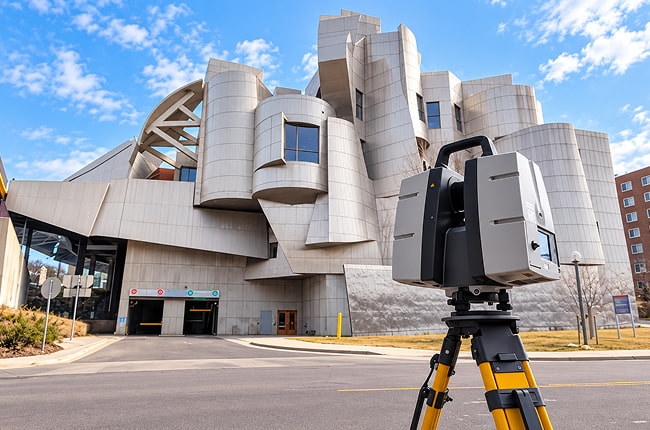
Leading architects, engineers, and contractors rely on our scan to BIM services for consistent, high-quality project outcomes.
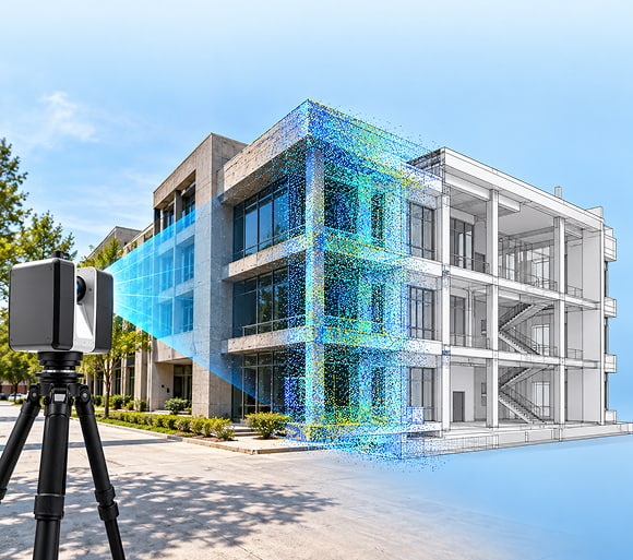
Every project depends on accurate site data and our 3D laser scanning services give your team that starting point across the USA, UK, Canada, Australia and other countries.
Site conditions almost never match the drawings on file. Buildings settle, additions go undocumented, and tape-measure surveys miss small details. Teams that skip proper laser scanning surveying end up designing around guesswork. That guesswork surfaces later, during construction, as clashes, change orders, and site revisits nobody budgeted for.
We partner with laser scanning companies across the USA, UK, Canada, Australia and other countries to deliver consistent, high-quality projects for AEC clients nationwide.
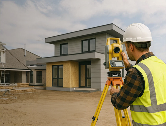 Join Our Surveyor Partner NetworkBecome a Surveyor Partner
Millimeter-accurate point cloud laser scanning of any site

Nationwide field crews using top-rated laser scanners

Free quotes ready within 24 hours

Data ready for Scan to BIM or Scan to CAD

Registered, cleaned point clouds, not raw, noisy files

Support for 3D laser scanning in construction, renovation and design work
-6fc6db22a204f0f492728ae9da3adc9a.jpg)
Tripod-mounted scanners for high-detail interior and exterior capture
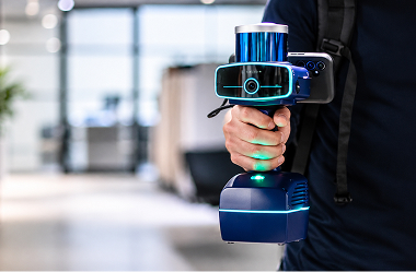
Portable scanners for tight interiors, plant rooms, and hard-to-reach spaces
-8b339e44b2818d9857130f83388b225a.jpg)
Walk-through capture for large or complex sites where speed matters
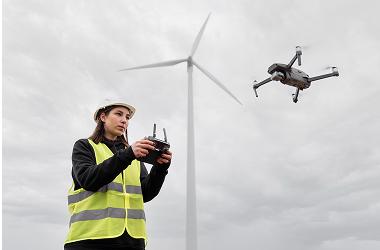
Aerial capture for roofs, sites, and terrain that are hard to reach from the ground
 Laser Scanners-56351b117d393884ef91579030f7e2eb.jpg)
Long-range scanners for large structures, facades, and open outdoor areas
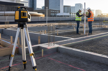
High-speed scanners for detailed indoor spaces and shorter ranges
Getting accurate scan data does not need to be complicated, so we keep our laser scanning process simple and transparent.
You share your site details and we schedule a certified crew from our nationwide vendor network.
Our field team captures your site using a terrestrial, handheld or mobile LiDAR scanner, based on scope.
We align every scan position, remove noise and merge captures into one accurate point cloud.
We check dimensions with respect to the raw scan and then deliver files in your preferred format.
Whatever you are building, renovating or documenting, our laser scanning services adapt to your project type and site conditions.
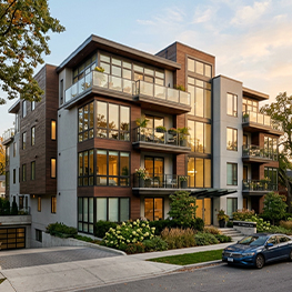 Residential
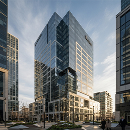 Commercial Buildings
 Industrial & Manufacturing
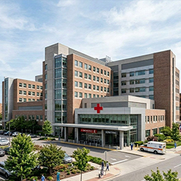 Healthcare & Medical
 Educational Institutions
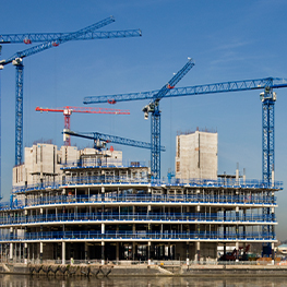 Infrastructure & Public Sector
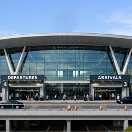 Airport & Aviation
 Historical Preservation
Our worldwide vendors bring the equipment used across 3D laser scanning for architecture and construction projects and those are among the most trusted in the industry.
 Leica RTC360
 Leica BLK360
 FARO Focus
 Trimble X7
 Matterport Pro3
 NavVis VLX
Plenty of 3D scanning companies own scanners. Few pair that equipment with reality capture services and an in-house team that turns your point cloud into a usable deliverable.
40–50%
Our 3D laser scanning services shorten the time between site visit and delivered point cloud, helping teams start design and documentation sooner.
30%
Our terrestrial and mobile laser scanners capture every dimension in a single visit, helping teams avoid the cost and delay of sending crews back to site.
±3mm
We verify every scan against defined tolerances, so your drawings and models start from data you can actually trust.
25%
Our accurate, registered point clouds capture site conditions before design begins, which helps teams avoid clashes and onsite change orders.
30%-40%
Our fast scan to delivery process gets usable point cloud data into your team's hands sooner that helps design and coordination work begin earlier.
20%-30%
Our worldwide vendor network eliminates long-distance mobilization for scanning crews, helping teams reduce travel time and field survey overhead.
Explore the latest insights, ideas, and perspectives through updated content on trends shaping the future.
Existing conditions documentation for renovation and retrofit projects is often incomplete or out-of-date a...
Read MoreWatch the session for practical scan to BIM guidance from the project team.
Read More Case Study
LOD 300 delivery in 22 Days, covering Architecture, Structure & Mechanical.
Read MoreExplore the latest insights, ideas, and perspectives through updated content on trends shaping the future.

At Knapco, we consider VBS our go-to partner for Scan to BIM conversion projects. The best part of their service is the large talent pool they have, capable of managing projects of any size and complexity while maintaining consistent quality since our collaboration began.
- Kevin O'Keefe, Owner
Fast to schedule, easy to start and backed by a worldwide vendor network, so accurate site data is never far away.
A LiDAR scanner sends out laser pulses and measures how long they take to bounce back. Millions of these measurements form a point cloud which is a precise 3D record of your site.
Let’s discuss your requirements and see how our expertise can help on your next project.