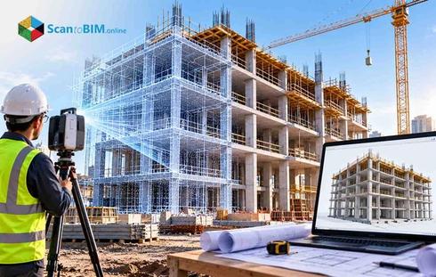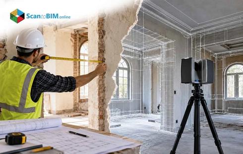





When a renovation project is assigned to a project team, they first pull up the original drawings and start planning. Soon they realize the walls do not match the plans, the ceiling height is different, and a duct runs exactly where the new structural beam needs to go. This gap between assumed conditions and actual conditions is the single biggest driver of change orders on renovation projects. Contractors lose weeks reworking designs. Budgets absorb costs nobody planned for. Owners get frustrated watching timelines slip because the starting data was wrong.
This is why more architecture, engineering, and construction firms are turning to laser scanning services before the first design drawing gets touched. Instead of guessing at existing conditions, teams capture them with millimeter-level precision and build every downstream decision on verified data. This blog walks through how the technology works, why it matters for renovation risk, and what to look for in a scanning partner.
What Is Laser Scanning for Existing Buildings?
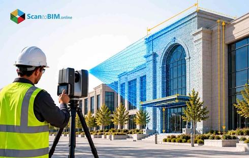
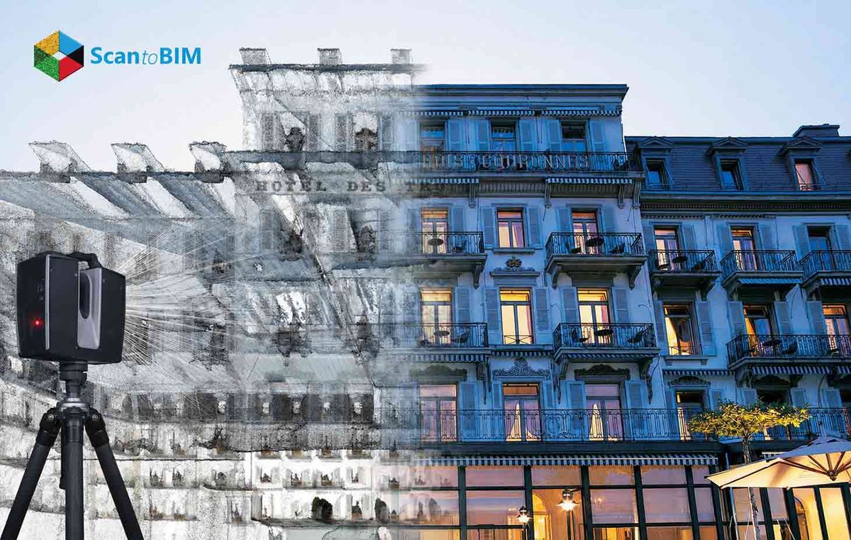
Terrestrial laser scanning uses time-of-flight or phase-shift LiDAR instruments to record millions of three-dimensional points across a building's visible surfaces. These points assemble into a point cloud, a dense digital replica of the physical space. Modern scanners operate across ranges from a few meters up to 150 to 200 meters. Single-distance measurement accuracy typically falls between 1 and 6 millimeters, with angle uncertainty measured in tens of arc-seconds.
Field teams position scanners at multiple stations around facades and inside rooms. Each station records data at resolutions that can reach 1 point per cubic millimeter in Autodesk ReCap workflows. Manufacturer data for the Riegl VZ-2000i, used in Salzburg Cathedral documentation projects, lists 3D measurement accuracy of 3 millimeters at 50 meters and 5 millimeters at 100 meters. These instrument-level specifications are the foundation for a laser scan to BIM process, because every model built downstream inherits the accuracy captured on site.
Why Accurate Existing Building Data Matters
Design decisions made on faulty existing conditions data do not stay contained. They travel through every phase of a renovation and surface as clashes, rework, and cost overruns.
A cultural heritage case study comparing photogrammetry and laser scanning against a total-station geodetic network found planimetric random errors of 3.99 centimeters for photogrammetry, compared with 2.31 centimeters for terrestrial laser scanning.
This shows how much modeling accuracy depends on the capture method chosen.
Construction and prefabrication teams typically work within tolerances of 3 to 6 millimeters between point cloud data and off-site manufactured components. High-detail reality capture can support tolerances as tight as 1 millimeter for specific fabrication tasks. This level of precision is simply not achievable with a tape measure, which is exactly why existing conditions modeling now depends on laser-based capture.
How 3D Laser Scanning Captures Existing Conditions
Every laser scanning for construction survey follows the same structured sequence. Each step builds on the one before it, and skipping a step introduces error that carries through to the final model.
Survey control
Field teams establish reference points across the site before LiDAR scanning begins. These points anchor every scan to one coordinate system. This keeps measurements consistent across the entire building.
Scan planning
Teams map scanner station locations based on the building layout. They account for distance, incidence angle and line of sight. These factors directly affect point cloud accuracy.
Data acquisition
Scanners are set up at each planned station. Each station captures millions of points per scan. In controlled structural testing, targets around 50 meters produced single-target precision near 2 millimeters. Well-designed multi-station setups achieved facade accuracy below 2 millimeters.
A separate study on oil storage tanks used Leica RTC360 scanners. Researchers recorded point cloud resolutions of ±2 millimeters. Volume calculation errors stayed under 0.2 percent. Traditional measurement methods on the same tanks showed 3 to 7 percent error.
Registration
Teams merge individual scans from each station into one coordinate system. Geodetic accuracy assessments of instruments like the Riegl LMS-Z420i show a key result. Terrestrial laser scanning can detect displacements with discrepancies between 0.78 and 2.16 millimeters, compared to high precision vernier measurements. This confirms that engineers can rely on reality capture in architecture for structural monitoring as well as visual documentation.
Export to BIM or CAD
Once registered, teams export the point cloud into platforms like Revit, AutoCAD, or Navisworks. Design and coordination teams then use this geometry as reference data.
Each step in this sequence protects the accuracy captured in the field. A weak link at any stage, in station placement or registration, reduces reliability for every team working downstream.
What Is a Point Cloud and Why Does It Matter?
A point cloud is the quantitative output of a scan. Each point carries x, y, and z coordinates. Most points also carry intensity and color data. Together, these values describe a building's geometry in detail. Point clouds differ from sparse survey points collected manually. Engineers can run statistical analysis on point cloud surfaces, including plane fitting and deviation mapping.
Terrestrial laser scanning captures complete building envelopes with accuracies around 1 to 2 centimeters. Local precision on signalized reference points stays at the millimeter level. One comparison of photogrammetric and laser-scanned models looked at a church and tower. Researchers found coordinate standard deviations of about 2 millimeters for signalized points. Natural points stayed under 1 centimeter of deviation.
This is why point cloud data becomes the reference geometry for every scan to BIM project.
An HBIM case study on La Anunciación church tested this directly. Researchers found dimensional differences between terrestrial scanner data and personal laser scanner data stayed within 10 to 16 millimeters. This range is considered acceptable for scan to BIM procedures at architectural scale.
Why Laser Scanning Provides Accurate Building Measurements
A point cloud only earns trust when its accuracy holds up against independent benchmarks. Several studies have tested terrestrial laser scanning against total stations and photogrammetry across real building scenarios.
A civil engineering study compared terrestrial laser scanning with digital close-range photogrammetry and found:
- Scanning deviations in linear distance measurements as low as 2 millimeters against total station benchmarks
- Photogrammetry variations ranging from 0.02 to 0.30 meters, depending on surface and distance
- Pearson correlation coefficients for scanning data exceeding 0.95 across all axes
Autodesk's own guidance supports these findings. Most construction-grade terrestrial scanners on the market today deliver around 3 millimeters of nominal accuracy. Tape-measure surveys cannot match this. Cumulative error across long dimensions on manual surveys commonly reaches several centimeters. Existing conditions modeling closes exactly this gap.
These accuracy figures explain the reliability of the data. What they do not explain yet is how that data actually moves into the deliverables design teams use every day.
| Laser Scanning Type | Setup | Best For | Typical Accuracy | Range |
|---|---|---|---|---|
| Terrestrial Laser Scanning (TLS) | Tripod-mounted and stationary at multiple points | Facades, interiors, heritage buildings | 3–6 mm | Up to 150–200 m |
| Handheld/Mobile SLAM Scanning | Handheld or backpack-mounted; operator walks through the space | Fast interior surveys, tight or occupied spaces | 1–5 cm | Walkable areas; up to 120 m on open sites |
| Aerial/UAV LiDAR | Drone-mounted scanner | Roofs, site topography, large exteriors | 1–3 cm | Wide-area coverage from above |
| Personal Laser Scanners (PLS) | Compact handheld units | Secondary reference scans, budget-constrained projects | 10–16 mm | Short to mid-range interior use |
| Smartphone LiDAR | Built into mobile devices | Quick reference scans, non-critical documentation | 29–32 mm mean absolute error | Short distances only |
7 Reasons Laser Scanning Improves Existing Building Documentation
Every step in the scanning and modeling process feeds into one outcome: documentation that reflects the building as it actually stands. Seven specific advantages explain why this outcome matters to project teams.
Captures Detailed Building Geometry
Scanners acquire millions of points per station, with speeds reaching 1 million points per second. Relative point cloud accuracies of 3 to 7 millimeters allow reconstruction of complex architectural details, including non-orthogonal walls and warped surfaces.
Reduces Manual Measurement Errors
Accurate documentation also depends on removing human error from the measurement process itself. Automated, dense measurement replaces sparse, manually recorded distances. Terrestrial scanning coordinates and distances have stayed within 2 to 20 millimeters of geodetic control. Manual and photogrammetric methods show larger deviations, especially in height, which directly weakens documentation quality.
Documents Complex Existing Conditions
Vaulted ceilings, irregular masonry and congested plant rooms challenge traditional survey techniques. Deformation monitoring studies show scanning can capture crack lengths from 180 to 750 millimeters with discrepancies of only a few millimeters.
Creates a Reliable Point Cloud Reference
Every scan yields a dataset with quantified accuracy, making it a trustworthy base for structural analysis. Cloud-to-BIM methods have generated structural models accurate enough for finite-element simulation.
Reduces the Need for Repeated Site Visits
Point clouds cover entire surfaces, so teams can pull most measurements from the office. In one oil-reservoir case study, scanning cut measurement time from 2 to 3 working days down to 4 to 6 hours.
Supports Accurate CAD and BIM Deliverables
When point clouds import into Revit or other BIM platforms, existing conditions modeling reaches precision levels aligned with LOD 300 to 400 requirements, supporting clash detection and fabrication coordination.
Improves Renovation and Retrofit Planning
Misalignment between existing structures and new work drives change orders. Structural assessment studies show scanning can detect geometric changes with discrepancies between 0.78 and 2.16 millimeters, giving teams confidence before intervention begins.
Documentation that captures geometry, reduces errors, and supports retrofit planning still needs somewhere to go. The next question is how that data actually moves into the BIM and CAD deliverables design teams rely on.
How Laser Scan Data Supports BIM and CAD
That question about where the data goes next has a clear answer. Scan data becomes the reference geometry inside CAD and BIM platforms. Teams use Autodesk ReCap Pro to build structured point clouds and meshes from scan data. Teams using ReCap Pro can capture point densities up to 1 point per cubic millimeter. Teams then export this data to Revit, AutoCAD, Civil 3D, and Navisworks.
Case studies in HBIM and building digitization show how this plays out in practice:
- Mean absolute errors around 29 to 32 millimeters when teams use smartphone LiDAR or UAV photogrammetry
- Errors dropping considerably lower when survey-grade terrestrial scanning leads the capture process
- Facade and structural modeling accuracies of 10 to 20 millimeters over large spans, combined with millimeter-level local precision
This is the technical backbone of a dependable point cloud to BIM workflow. It gives design teams a quantitative foundation instead of an assumed one. That same foundation is what determines how much risk a renovation project actually carries once construction begins.
How Laser Scanning Reduces Renovation Risk
Renovation risk comes down to one gap and that is the difference between assumed conditions and actual conditions. Quantitative evidence from scanning research shows this gap can shrink to millimeter-level discrepancies, a result manual methods rarely achieve.
Deformation monitoring experiments show terrestrial scanning can reliably detect displacements of 1 to 3 millimeters in structural elements, which makes it suitable for:
- Pre-retrofit assessments of critical infrastructure
- Post-retrofit assessments of tanks, chimneys, and high-rise buildings
Scan to BIM workflows translate this data into BIM models. Designers and contractors then gain explicit knowledge of dimensional tolerances, typically 3 to 6 millimeters for structural interfaces. Hybrid scanning and photogrammetry experiments show where lower-cost methods introduce larger errors. Mean absolute errors run near 30 millimeters in some building dimensions. This is why laser scanning services function as a risk-mitigation tool for firms handling high-value renovation work. They are not just a documentation convenience.
Reducing risk on paper is one thing. Applying that reduction consistently across projects depends on choosing the right scanning workflow from the start.
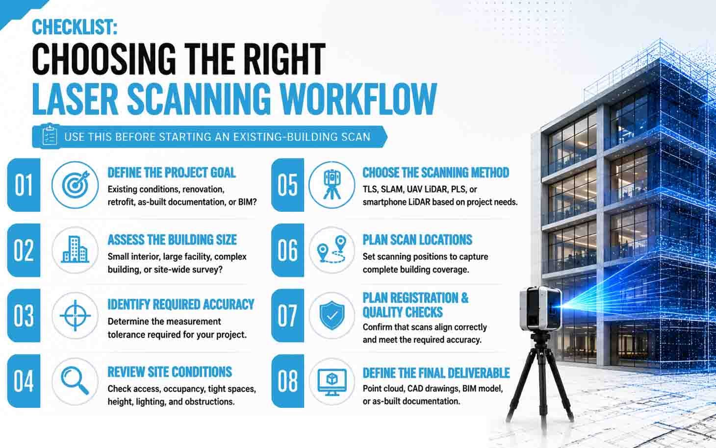
Choosing the Right Laser Scanning Workflow
Risk reduction depends on more than owning a scanner. It depends on matching instrument capability, scanning geometry, and registration strategy to what a project actually needs. Review research shows scanning range errors vary from sub-millimeter to several millimeters, and range noise and angle uncertainty both need consideration during survey design.
Field tests on structural and facade modeling identify the factors that affect precision most:
- Distance between scanner and target
- Incidence angle at each station
- Lateral resolution settings
Properly designed multi-station scans can achieve facade accuracy below 2 millimeters at common survey ranges. One study found that increasing lateral resolution from 3 to 4 centimeters down to 0.5 centimeters let scanning match and even exceed photogrammetric accuracy, cutting random errors roughly in half.
For AEC firms, the practical guidance breaks down into four steps:
- Use survey-grade instruments with 3 to 5 millimeters nominal 3D accuracy at 50 to 100 meters for high-risk renovation and HBIM work
- Design scan layouts that limit long distances and steep incidence angles
- Configure ReCap workflows to maximize point density where detailed modeling matters most
- Maintain consistent registration checks throughout the capture process
A well-planned point cloud to BIM workflow protects the accuracy gained during capture, and that protection carries through to the final model. Following this workflow consistently is where experience matters most, and that experience is exactly what a scanning partner should bring to the table.
Why Choose ScantoBIM.Online for Scan to BIM and As-Built Modeling?
A scanning partner should meet the same standards covered throughout this blog, not just claim to. ScantoBIM.Online builds its laser scanning services around the performance thresholds established in published TLS studies. Our workflows for reality capture services rely on instruments capable of 3 to 6 millimeters nominal accuracy. We generate point clouds with relative accuracies of 3 to 7 millimeters. Absolute accuracies reach 1 to 2 centimeters across building envelopes.
For architects, engineers and MEP teams, our laser scan to BIM deliverables target tolerances compatible with prefabrication interfaces, typically 3 to 6 millimeters for structural connections and penetrations. This aligns directly with Autodesk's own recommendations for high-detail scan to BIM work.
Our teams follow best-practice acquisition patterns on every project:
- Maintaining appropriate scan distances and incidence angles
- Running registration quality checks grounded in published accuracy research
- Documenting measured discrepancies between deliverables and independent site checks, targeting mean absolute error in the low-millimeter to 10 to 15 millimeter range for critical dimensions
This is what data-backed existing conditions modeling looks like in practice. It is a measurable standard, not a marketing claim.
Conclusion
The combined body of experimental and comparative research supports one conclusion. Terrestrial laser scanning is currently the most accurate and broadly applicable way to capture existing building conditions at scale. Survey-grade instruments routinely achieve single-distance accuracies of 3 to 6 millimeters. Facade-scale reconstructions demonstrate overall deviations around 10 to 20 millimeters, well within standard architectural tolerances.
Compared with photogrammetry and manual surveys, scanning consistently shows lower random errors and more reliable geometric reconstruction. Random planimetric errors drop by roughly half in test cases against digital photogrammetry. AEC practitioners handle heritage documentation, complex MEP retrofits, and high-value renovations every day. For these teams, accurate data translates into fewer surprises, tighter budgets, and stronger confidence in every prefabrication decision. Reality capture in architecture has moved past being a nice-to-have. It is now the foundation that modern renovation projects are built on.